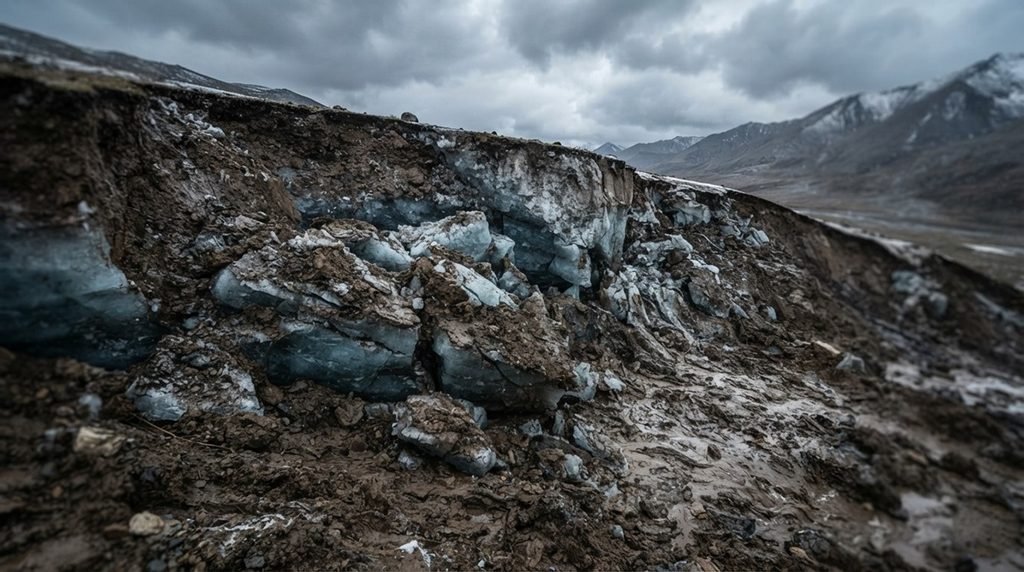
🌋 Something terrifying is happening beneath the frozen soils of the world’s highest plateau, and scientists have finally mapped the invisible patterns behind it.
The pristine landscapes of the Tibetan Plateau are currently facing an unprecedented geomorphic crisis as widespread permafrost warming continuously destabilizes the sensitive alpine terrain. Massive underground ice layers are melting rapidly across cold regions, causing the overlying earth to collapse into highly destructive, rapidly expanding mudslides.
These geological disruptions, known scientifically as retrogressive thaw slumps, do not appear uniformly across the warming region. Instead, they form highly concentrated, mysterious geographic clusters that leave adjacent hillslopes completely untouched, baffling global engineering researchers and geologists for decades.
📉 Why Is the Roof of the World Collapsing in Concentrated Spots?
- Widespread climate warming actively triggers severe permafrost degradation across cold regions, yet the resulting land collapses remain strangely confined to tiny, local catchments instead of distributing evenly.
- Traditional monitoring models fail because they largely treat hillslopes as independent analytical units, completely ignoring how multiple environmental factors operate jointly at scale across the landscape.
- Geologists cannot predict where the next sudden collapse will happen because relationships between environmental conditions and hillslope weakening are highly nonlinear and region dependent.
- Unpredictable terrain failures rapidly alter hillslope morphology, mobilizing massive volumes of permafrost material, sediment, and organic carbon into vulnerable downstream hydrology and ecosystems.
🔬 Scientists Map the Invisible Subsurface Weakness Field
- An expert research team including Yuting Yang, Gang Mei, Nengxiong Xu, Yongshuang Zhang, and Jianbing Peng published this breakthrough geological framework.
- This model introduces the Hillslope Weakening Field which integrates thermal state, hydrological conditions, terrain topography, permafrost, ground ice, and land-surface cover conditions jointly.
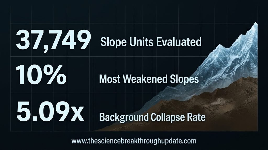
- The study evaluated exactly 37,749 slope units across 7 study regions, mapping out continuous gradients of subterranean vulnerability instead of relying on isolated classes.
- Independent evaluations prove that slumps preferentially strike the 10% most strongly weakened slopes, showing occurrence rates up to 5.09 times background levels within those domains.
🛡️ Predicting Future Catastrophes and Protecting Alpine Infrastructure
- Identifying these continuous weakening domains allows alpine engineers to map out precise risk patterns along critical linear engineering corridors and transportation networks across the plateau.
- The discovery helps geologists explain why geomorphic responses to widespread permafrost warming remain highly heterogeneous across vulnerable and changing cold-region permafrost landscapes.
- Dissecting the spatial decay of these fields gives researchers a vital tool to track concentrated material transport, sediment release, and broader ecohydrological impacts.
- This predictive framework shifts perspective from treating hillslopes as independent units to analyzing spatially structured fields across rapidly changing alpine cold regions worldwide.
My Take: By mapping hidden connection networks instead of isolated hillsides, this field perspective finally explains localized land collapses, shifting disaster management from blind reactions to precise, preventative spatial targeting.
❓ Reader Doubts: Core Questions Answered
- What is a retrogressive thaw slump?
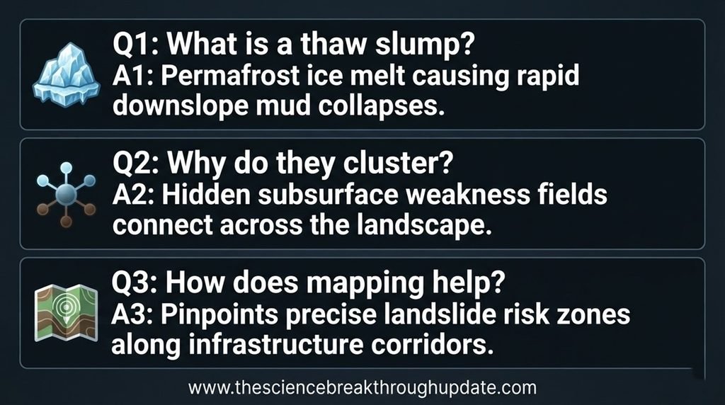
It is a rapid geomorphic failure initiated by the thaw of ice-rich permafrost due to long-term climate warming across cold regions. The thawed material collapses and flows downslope, causing a steep headwall to form. This headwall continues to retreat over time, allowing the slump to expand progressively across the landscape. - Why do these slumps cluster in specific areas instead of appearing everywhere?
They form clusters because hidden subsurface weakening states are not isolated but are spatially correlated and connected across the terrain. Where these high-weakening conditions are continuous, terrain slumps develop in dense local groups. Widespread regional warming interacts with these highly localized structural fields instead of acting uniformly across slope units. - How does this new research help manage terrain risks?
It helps narrow down the specific hillslopes and continuous zones that require urgent field surveys, remote sensing, and instrumentation monitoring systems. This allows limited disaster management resources to be directed exactly where multiple high-weakening conditions coincide perfectly. Consequently, engineers can implement vital mitigation strategies long before massive landscape failure or structural damage occurs.
Source Document Link: arXiv.org
Share this useful knowledge with your friends now!”
Disclaimer: This content is based on preliminary scientific research (Preprints) from arXiv.org and current global findings. It is shared strictly for educational and informational purposes and does not constitute professional, legal. Readers are encouraged to verify facts independently and consult relevant experts before making any decisions.