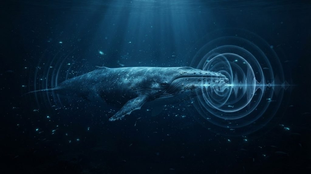
If you think scientists always know exactly where ocean giants are singing, a massive new coding error discovery might surprise you.
🐋 For years, researchers tracking underwater whale calls relied heavily on automated localization software to map marine life patterns. However, a major software flaw recently exposed how these digital tools can completely miscalculate acoustic data, throwing years of ocean conservation mapping into serious doubt.
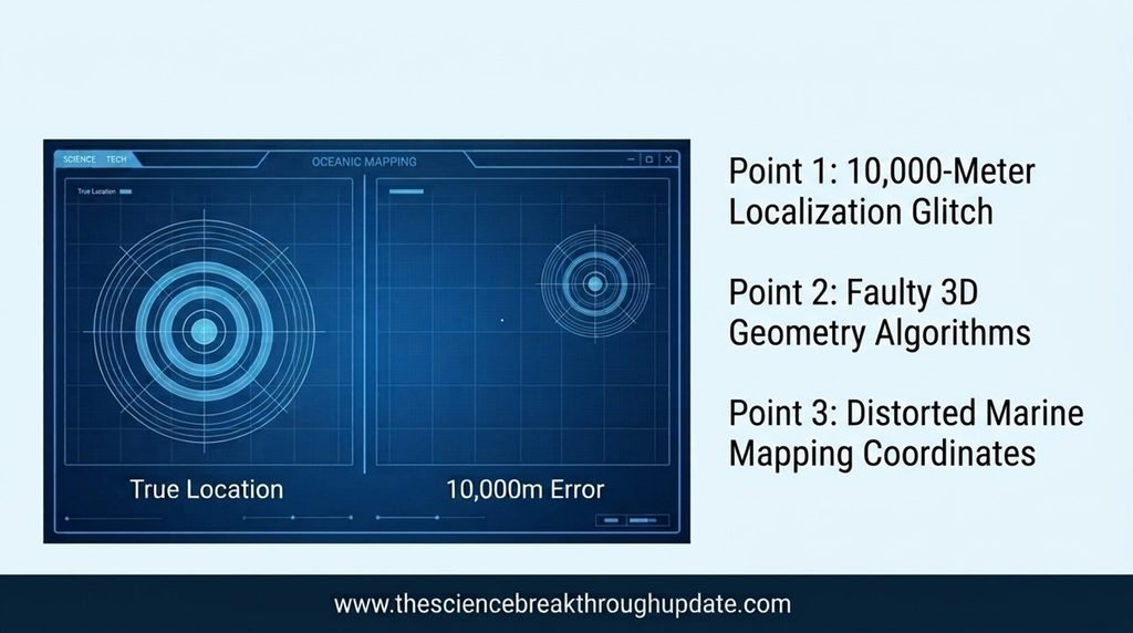
🔍 A team of marine scientists just revealed that two widely used PAMGuard three-dimensional localizers suffer from massive, unreported calculation bugs. This hidden glitch severely skews the estimated coordinates of underwater mammal sounds, leaving researchers with highly inaccurate tracking maps.
The Hidden Coding Bug Mismapping Our Oceans
- 🛑 Automated acoustic tracking systems frequently miscalculate the exact coordinates of deep-sea whale vocalizations due to faulty internal geometry algorithms.
- 🌊 The popular software tools failed to account for complex three-dimensional sound propagation variables across different ocean depth levels.
- 📈 Researchers discovered that tracking errors grew exponentially, sometimes misplacing a calling whale by 10,000 meters or more from its actual location.
- 🗺️ This systemic software failure compromised critical data sets used by global agencies to establish protected marine zones and shipping lanes.
How Scientists Exposed the Acoustic Software Flaws
- 🧑🔬 A dedicated research team led by Maya Mathur, Luke Stoner-Eby, Devin Pascoe, and John L. Spiesberger rigorously audited the tracking algorithms.
- 📄 The team analyzed 35 pages of data and 6 complex acoustic figures to pinpoint exactly where the localized code broke down.
- 💻 By comparing the automated outputs against verified acoustic baselines, they isolated the specific coding anomalies causing the spatial distortion.
- 🌐 The scientists successfully published their technical findings in arXiv under the atmospheric and oceanic physics domain to alert the global community.
Why Fixing This Coding Error Saves Marine Ecosystems
- 🐋 Correcting these localized software bugs allows marine biologists to accurately map endangered whale migration corridors without costly spatial errors.
- 🚢 Navy sonar operations and commercial shipping vessels can better avoid critical whale habitats when provided with precise acoustic coordinates.
- 🛠️ Future software developers can now build more resilient open-source bioacoustic tools by applying the mathematical corrections outlined by the team.
- 💰 Precise tracking data ensures that international funding actually goes toward protecting the exact ocean regions where whales live and feed.
My Take: This glaring glitch proves that even our best conservation efforts are only as good as the code behind them. Fixing this software isn’t just about data accuracy; it’s a vital reality check that keeps our ocean protections from missing their targets entirely.
Reader Doubts: Core Questions Answered
1. What is PAMGuard software used for?
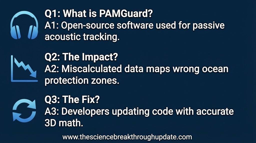
🎧 PAMGuard is an open-source software application used by marine researchers for passive acoustic monitoring. It helps scientists detect, localize, and track vocalizing whales, dolphins, and other marine mammals using underwater microphones.
2. How do software errors impact whale conservation?
📉 When software miscalculates the location of whale calls, conservationists map the wrong areas of the ocean. This can lead to ineffective marine protected zones and leave whales vulnerable to ship strikes or industrial noise.
3. Can these acoustic tracking systems be fixed?
🔄 Yes, the research team shared their data publicly so developers can update the code. Software updates incorporating correct three-dimensional math will eliminate these large localization errors.
News source link: arXiv.org
Share this useful knowledge with your friends now!
Disclaimer: This content is for educational and informational purposes only.