Wild animals damage valuable forest ecosystems and agricultural crops secretly at night, but a new multi-axis artificial intelligence protocol exposes precise automated tracking vulnerabilities.
🌾 Agricultural regions face severe economic crises as crop-damaging wildlife silently invades managed agroforestry stands under total darkness. Traditional single-sensor motion traps frequently fail because fast-moving pests leave indistinct monochrome smudges, leaving local farming communities entirely undefended against nocturnal distribution shifts.
🔬 To resolve this issue, ecological researchers developed a specialized multi-axis evaluation benchmark named SatoyamaCT for tracking nocturnal species. This automated framework utilizes expert-verified datasets alongside foundation model embeddings to analyze real-world diagnostic performance gaps across regional camera placements without manual observation errors.
The Hidden Financial Strain of Nocturnal Wildlife Intrusion
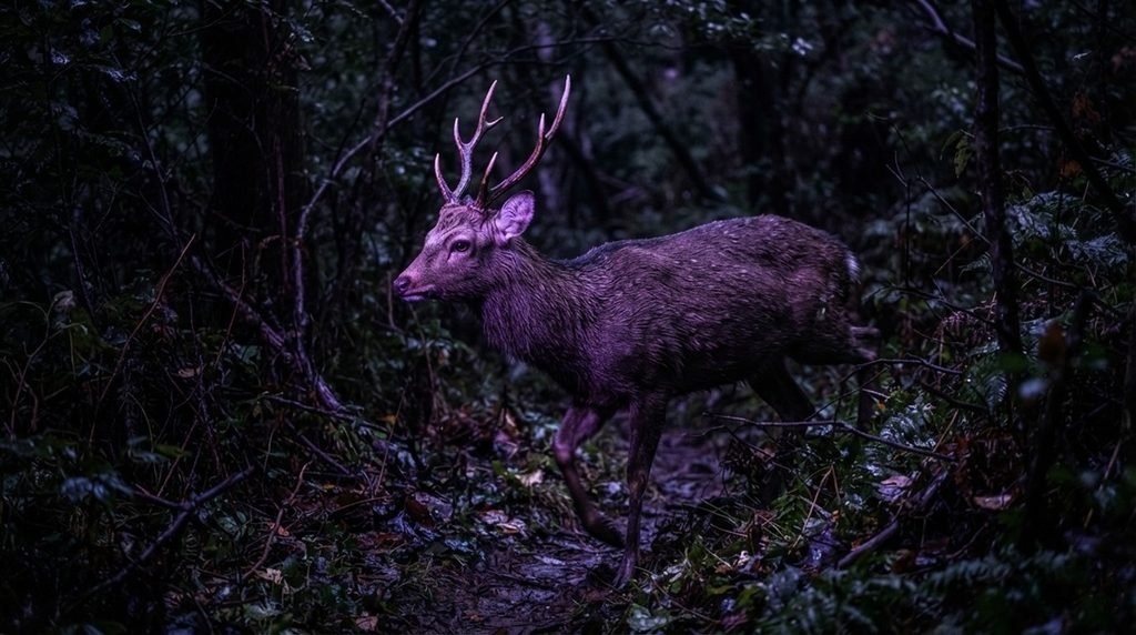
🐗 Destructive wild pests including sika deer, wild boar, and Japanese macaque cause severe recurring economic damage to regional agroforestry timber production operations continuously and systematically.
📷 Existing camera trap benchmarks fail because they mix daytime photography with nighttime records without isolating the night infrared monochrome evaluation axis properly across diverse landscapes.
🌲 Standard computer vision models experience a significant domain generalization gap when transferred to new camera deployment locations completely unseen during initial model training phases.
📉 Automated tracking accuracy drops by 16 to 27 percentage points in specific regions because regional domain shifts distort animal visual representations severely and unpredictably.
Building SatoyamaCT Using Model-in-the-Loop Expert Labeling
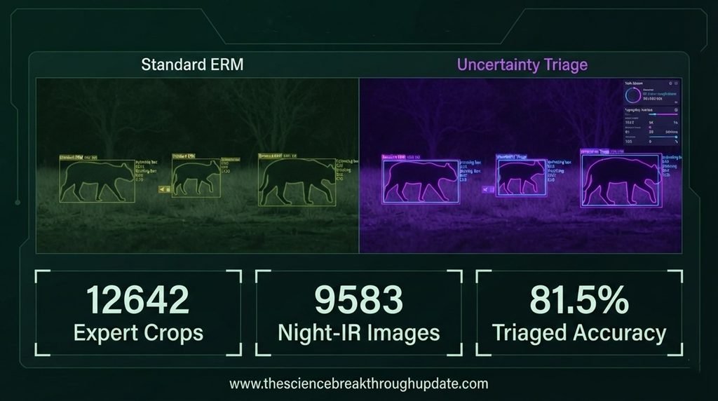
📊 Researchers Keito Inoshita and Kohei Hisayama established the SatoyamaCT dataset containing 12642 expert-verified crops extracted by MegaDetector from three distinct regions.
🦌 The collection features 9583 crops captured in night-infrared monochrome, representing a highly realistic, strongly long-tailed species distribution across Japanese satoyama landscapes.
💻 Automated processing combines biology-specialized BioCLIP foundation model embeddings with confidence-ordered active confirmation to systematically minimize manual annotation workloads for ecologists.
🤝 Independent double annotation by two domain experts achieved an exceptional species-level inter-annotator agreement baseline score of Cohen kappa 0.900.
Empowering Forest Management Through Uncertainty-Aware Triage Workflows
🧠 Fine-tuning specialized neural networks significantly improves the placement-level recall of rare known species that become local minority classes across different micro-habitats.
📈 Combining deep learning models with entropy scores produces an excellent open-set novel species detection performance level reaching up to 0.955 AUROC.
⚙️ Utilizing advanced selective prediction algorithms recovers classification accuracy from a low 59.3% up to 81.5% accuracy at 50% coverage decision thresholds.
🛡️ Deploying automated triage operations allows agricultural networks to route uncertain predictions to human experts, reducing expensive manual field patrolling hours completely.
My Take: This benchmark stops AI from guessing blindly. By forcing models to admit when they are confused, it finally turns raw wildlife data into a reliable practical farm defense tool.
Reader Doubts: Core Questions Answered
1. What specific challenges do night-infrared camera traps introduce to automated wildlife monitoring systems?
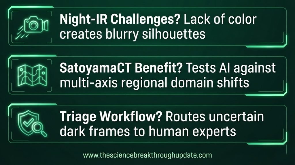
👁️ Night-infrared camera traps capture monochrome imagery, which completely lacks the helpful color features needed by standard identification models. Fast-moving nocturnal wildlife recorded in complete darkness often appears as blurry, indistinct silhouettes against dense, complex agroforestry backgrounds. This distinct limitation causes baseline neural networks to easily misclassify rare target species into dominant animal classes. Furthermore, these environmental challenges reduce the overall precision of active conservation pipelines quite significantly.
2. How does the SatoyamaCT dataset help models generalize better across different agricultural environments?
🗺️ The dataset introduces a multi-axis evaluation design spanning three distinct Japanese regions named Mie, Shizuoka, and Wakayama. It stratifies camera placements across unique local settings including broadleaf stand positions, conifers, open fields, and local ponds. This rigorous structure tests machine learning models against severe regional domain shifts and localized background variations systematically. Consequently, researchers can evaluate exact diagnostic weaknesses before deploying systems into real-world forest zones.
3. How does an uncertainty-aware triage workflow function for practical pest management?
🛎️ This practical workflow utilizes specialized selective prediction algorithms to calculate exact model confidence boundaries for all automated species classifications. The system automatically processes highly confident predictions while routing low-confidence or highly ambiguous animal clips directly to human ecologists. This hybrid approach recovers real-world monitoring accuracy to 81.5% while minimizing expensive manual field patrolling hours.
Source Document Link: arXiv.org
Share this useful knowledge with your friends now!”
Disclaimer: This content is based on preliminary scientific research (Preprints) from arXiv.org and current global findings. It is shared strictly for educational and informational purposes and does not constitute professional, legal. Readers are encouraged to verify facts independently and consult relevant experts before making any decisions.