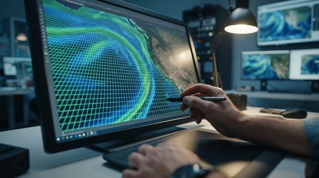
Predicting localized atmospheric rivers down to a tiny 2-kilometer zone could soon prevent sudden flood disasters before they destroy coastal communities.
💡 Modern meteorologists frequently struggle to anticipate localized flash floods because standard tracking systems analyze the atmosphere in massive grids. This broad analytical approach routinely misses micro-level moisture shifts, leaving cities completely blind to sudden, devastating downpours that cause billions in infrastructure damages.
💡 To solve this tracking blind spot, a research team featuring Nazak Rouzegari and Vesta Afzali Gorooh built an advanced framework. Their design bridges the gap between deep learning and classical physics to map integrated vapor transport with unprecedented spatial clarity.
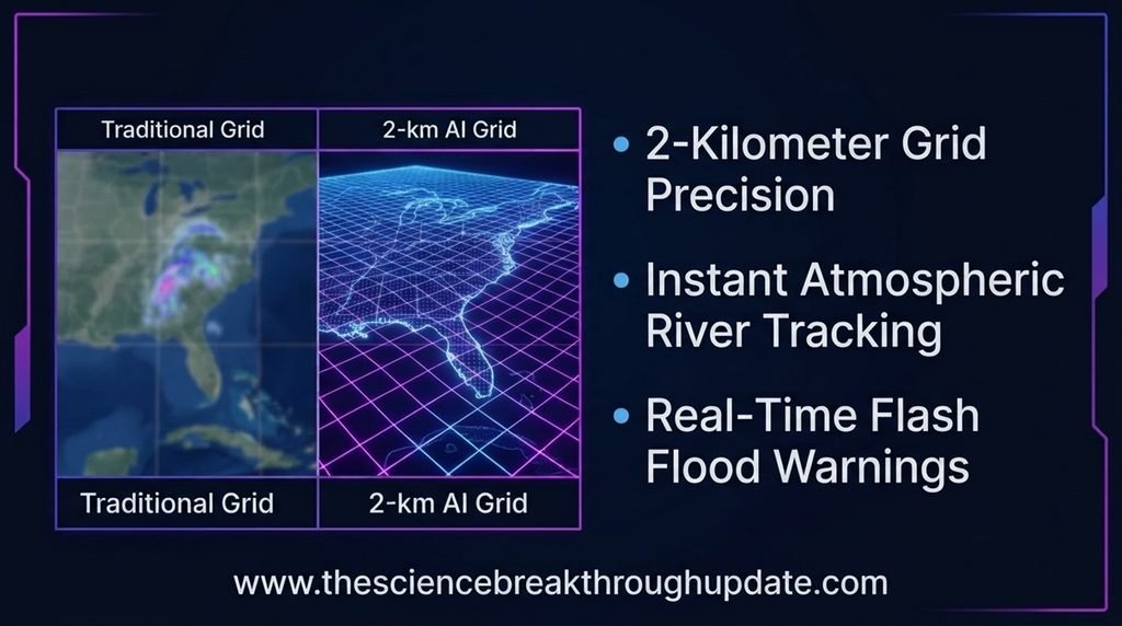
Why Conventional Forecasting Systems Fail to Track Localized Disasters
- 🌪 Traditional meteorological systems evaluate weather patterns across broad regions, completely missing local extreme precipitation spikes within small neighborhoods.
- 🌊 Heavy coastal storms are driven by atmospheric rivers, which act as massive pipelines of water vapor moving rapidly through the sky.
- 🖥 Standard computer simulations require massive processing power and long computation times, making real-time disaster warnings almost impossible to deploy.
- 🗺 Without precise, hyper-local data, emergency management teams cannot issue accurate evacuation orders to specific high-risk zones.
The Hybrid Physics-AI Framework Rewriting Weather Science Rules
- 🤖 The newly developed West-WRF AI 2-km system applies advanced machine learning models directly to high-resolution regional weather forecasting grids.
- ⚛ This intelligent system preserves core atmospheric physics equations while utilizing deep learning to accelerate complex fluid dynamics calculations.
- 🔍 By processing vast streams of atmospheric data, the model maps moving water vapor down to a highly detailed 2-kilometer resolution.
- 📉 The network identifies subtle environmental precursors, allowing it to predict sudden rainfall accumulation hours before the storm hits the coast.
How Hyper-Local Rainfall Mapping Saves Vulnerable Coastal Cities
- 🛡 City planners and emergency response teams can use these high-resolution projections to deploy flood barriers exactly where the water will hit.
- 📺 Faster computing speeds allow local weather channels to broadcast live storm updates with pinpoint accuracy for specific neighborhoods.
- 🤝 The system reduces false alarms, ensuring that the public maintains trust in severe weather alerts issued by authorities.
- 🚰 Infrastructure managers can safely modulate water levels in reservoirs ahead of time, preventing massive river overflows in populated areas.
My Take: Watching AI move past raw pattern recognition to master actual physics equations is remarkable. This framework finally stops cloud-gazing and delivers accurate forecasting tools that local planners can realistically trust.
Reader Doubts: Core Questions Answered
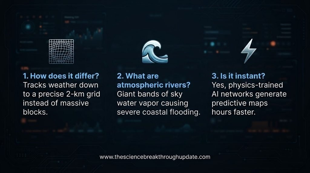
1. How does West-WRF AI 2-km differ from standard weather apps?
📱 Standard applications rely on global models that view the sky in large grids, often missing small-scale storms. This new system uses deep learning to focus on a highly detailed 2-kilometer grid, catching hyper-local rainfall events.
2. What are atmospheric rivers and why do they matter?
💧 Atmospheric rivers are long, narrow regions in the atmosphere that transport most of the water vapor outside the tropics. Because they carry immense moisture, predicting their exact path is crucial for avoiding catastrophic coastal flooding.
3. Will this technology make weather predictions instant?
⚡ Yes, by substituting heavy mathematical computing with trained artificial intelligence networks, the system generates forecasts much faster than traditional methods. This gives emergency teams critical extra time to prepare for severe weather.
Source Document Link: arXiv.org
Share this useful knowledge with your friends now!”
Disclaimer: This content is for educational and informational purposes only.