
🌍 Tectonic plates do not move at random; a newly discovered mathematical blueprint inside the Earth’s crust actively dictates exactly how continents will fracture and split.
Geologists traditionally viewed global continental drift as a highly chaotic process driven entirely by deep mantle convection currents. However, a rigorous new mathematical framework now successfully proves that Earth’s rigid lithospheric fragments follow a strict geometric arrangement governed by network topology invariants across our planetary surface.
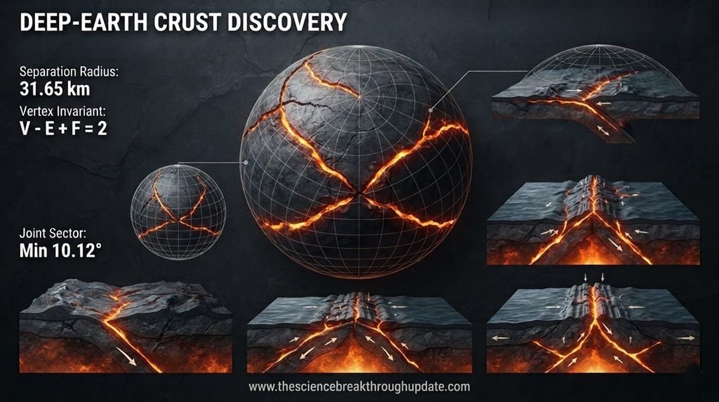
This structural analysis reveals that continuous plate boundaries eventually collapse into a completely discrete skeleton of trivalent junctions. By using advanced shape function mechanics, researchers can now easily calculate a precise topological diffuseness index to audit global planetary stability over deep time.
💥 The Chaos of Traditional Plate Boundary Predictions
- Tectonic mapping relies heavily on fragmented, discontinuous geological observations that routinely fail to clarify the exact physical zone where rigid continental plates separate dynamically.
- Conventional geodynamic formulations cannot accurately process highly complex, non-convex plate outlines, which directly creates massive calculation errors known as geometric wedge shadowing anomalies widespread.
- Geologists routinely struggle to differentiate between clean, well-defined plate borders and highly ambiguous zones of diffuse global boundary deformation across real planetary lithospheric networks.
- Published digital reconstruction models frequently overcount total planetary surface area coverage because they treat irregular continental shapes as perfect geometric disks instead of networks.
🧩 Cracking the Lithospheric Code with Topology
- Professor Seung-Sep Kim from Chungnam National University successfully resolved this historical geodynamic discrepancy by proving a new mathematical limit theorem using signed distance fields.
- This mathematical bridge formalizes Earth’s lithospheric mosaic into a finite regular cell complex that perfectly obeys Euler’s polyhedral formula cell count topological invariants.
- The framework utilizes a component-counted weighted Euler characteristic to track how continuous boundary models collapse into discrete triple junctions with high mathematical accuracy.
- This advanced geometric approach automatically removes historical mapping artifacts at tectonic corners by employing a scale-free planar junction lemma across the entire spherical grid.
🔮 The Future of Planetary Forecasting and Auditing
- Scientists can now deploy the new topological diffuseness index to measure the exact structural ambiguity of active earthquake fault zones quite easily and dynamically.
- This geometric tool successfully audited the present-day PB2002 network matrix to reveal a precise local separation threshold of exactly 31.65 kilometers across the globe.
- Tectonic researchers gain an absolute global consistency test to verify the structural accuracy of all deep-time planetary reconstructions without any human bias or doubt.
- The component-counting method properly accounts for complex overlapping borders to prevent geologists from miscalculating the actual total planetary surface coverage values during historical audits.
My Take: By transforming chaotic geology into clean network physics, this study removes human guesswork from mapping. It provides a brutal truth check for planetary models, shifting earth sciences from simple observation to absolute predictability.
❓ Reader Doubts: Core Questions Answered
- How does geometry help track plate tectonic changes over deep time?
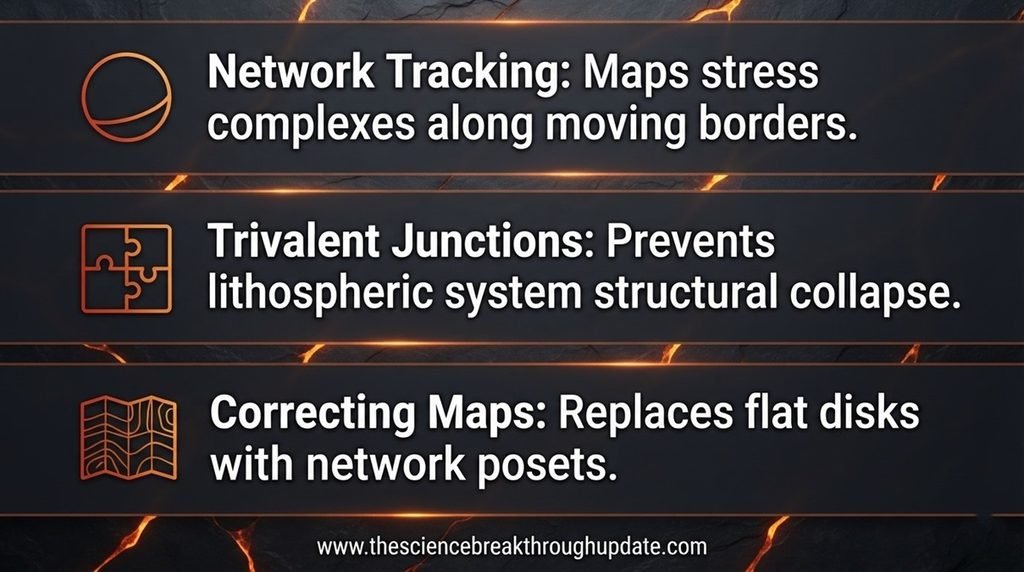
Geometry always allows scientists to map the hidden network complexes between moving boundaries. By calculating the mathematical reach of these fault lines, geologists can pinpoint areas under extreme structural stress. This innovative spatial method completely removes human guesswork from tectonic analysis and effectively improves global forecast models across the entire planetary network. - What is a trivalent junction in plate tectonics according to this paper?
A trivalent junction is a stable point where exactly 3 distinct tectonic plates meet. These specific vertices dictate the boundary logic and prevent the lithospheric network from collapsing into chaotic fragments. They form the core skeleton of the planet’s entire structural grid system to ensure physical equilibrium over historical deep-time timelines perfectly. - Why do old tectonic maps contain area errors during digital reconstructions?
Old maps treated highly complex, concave plate borders as simple flat polygons or disks. This crude simplification caused overlapping boundary coordinates that overcounted Earth’s actual surface area by significant margins. The new component-counting system fixes this calculation error completely by using rigorous network posets to deliver flawless geographical calculations across international deep-time mapping models smoothly and dynamically.
Source Document Link: arXiv.org
Share this useful knowledge with your friends now!”
Disclaimer: This content is based on preliminary scientific research (Preprints) from arXiv.org and current global findings. It is shared strictly for educational and informational purposes and does not constitute professional, legal. Readers are encouraged to verify facts independently and consult relevant experts before making any decisions.